When you're walking in the countryside, there's only one kind of map you need: an Ordnance Survey map. My preferred choice is the orange-covered 1:25,000 Explorer series, whose maps show field boundaries, individual buildings and enough details to make navigation a pleasure; I used them when I walked from Land's End to John o'Groats and I've never looked back. Here's a list of Explorer maps that together cover the entire Tube network:
| Map Number | Map Name |
|---|---|
| 160 | Windsor, Weybridge & Bracknell |
| 161 | London South |
| 162 | Greenwich & Gravesend |
| 172 | Chiltern Hills East |
| 173 | London North |
| 174 | Epping Forest & Lee Valley |
| 175 | Southend-on-Sea & Basildon |
| 181 | Chiltern Hills North |
The purple 1:50,000 Landranger maps aren't bad either, but there is one big problem with using OS maps for tubewalking: they might be the business out there in the sticks, but they are pretty useless in big cities and they don't get a lot bigger than Greater London. The problem is that the individual buildings tend to merge into one big, pinkish blob that smothers the whole map and makes it hard to pick out individual features. Roads are shown, of course, but apart from major road numbers (like the A40, A4 and so on) they aren't named, so you'd be stuffed if you tried to use them to find your way round the City. This isn't a criticism of the product – OS maps are particularly aimed at city walkers and they're still brilliant for the outer edges of the Tube network – but it does mean you have to look elsewhere for maps that are suitable for tubewalking.
Maps for Tubewalkers

The obvious place to look is the London A-Z, and I'm now the proud owner of a tattered Big London A-Z, which covers almost all of the Tube zones in a ring-bound format; this meant I could rip off the pages I needed and take them with me on my tubewalks. Indeed, the A-Z scores heavily over OS maps, not just on road names, but also footpaths. OS maps don't show that many paths in urban London, and they're only obvious when they're rights of way (of which there aren't that many in the capital), so it's often impossible to know where you can walk; the A-Z, however, shows paths everywhere, and that makes life much easier for the urban stroller.
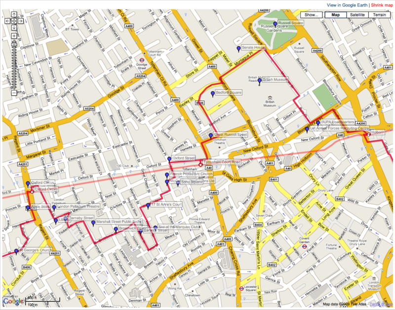
Those are the paper maps I used, but I designed all my routes in Google Maps, so for the next stage I had to get my route into a format I could take with me. The first solution I thought of was to get an iPhone and hook up to the routes on my website as I walked, but I wanted a 3G iPhone and that wasn't due to be launched until after my walk, so I decided to stick with paper. Luckily Google Maps print out pretty well; using the full screen versions of my route maps, you can zoom in to a reasonable level of detail, and using the 'Map' mode, you can print out a street map showing the route and all the points of interest along the way; you can also include labels using the 'Show...' button, which displays all the labels in an opaque manner so you can still see the map beneath. It's not perfect, but it does mean you can print out route maps, complete with labels, that work well in conjunction with the A-Z (or, for the outer regions in the countryside, OS Explorer maps).
So all I had to do was print out the maps on my cheapo colour inkjet printer, stick them in a waterproof wallet, and off I went. I'm glad to report that they worked a treat.